Reality Capture
What this lane covers
LiDAR, photogrammetry, and subsurface scanning that ends the guesswork.
- Survey-grade existing-conditions capture of buildings, sites, and utilities
- Point cloud registration, scan-to-BIM, and as-built deliverables
- Subsurface utility locating before any blade hits dirt
- Progress capture tied to schedule and pay applications
Equipment & certifications
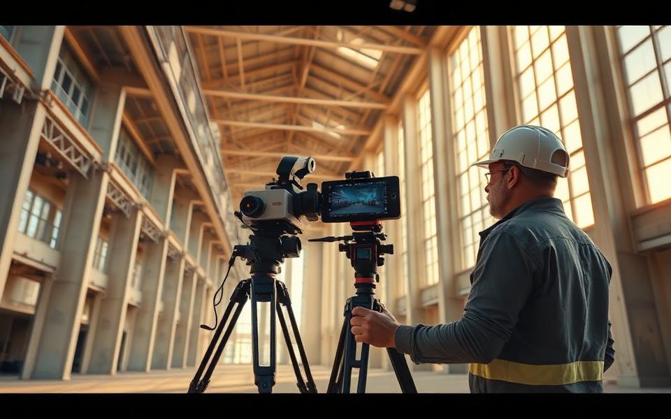
What we bring to the site
- Leica RTC360 terrestrial laser scanner
- Artec Leo and Artec Jet handheld scanners
- Matterport Pro3 for walkthrough documentation
- GSSI and DS2000 ground-penetrating radar
- Part 107 certified drone pilots and aerial photogrammetry
- Leica Cyclone / ReCap registration workflows
Typical scopes
Work we run in this lane
- Pre-renovation existing conditions for federal facilities
- Utility conflict verification ahead of civil work
- Digital twin capture for facility handover packages
- Dimensional verification and clash checks during construction
Applicable NAICS
Codes a contracting officer can match
- 541370
- Surveying and Mapping (except Geophysical) Services
- 541330
- Engineering Services
- 541990
- All Other Professional, Scientific, and Technical Services
Quick quote
Start a bid request in four minutes.
Federal solicitation, municipal project, commercial build, residential job, or a teaming request as a prime. Six steps, and your project lands in our pipeline with the scope already captured.
- Routed to the owner, not a general inbox
- Go/no-go scored against our capability lanes
- Registers your organization in our network
- Questions tailored to your project type
24 hrs
Response commitment